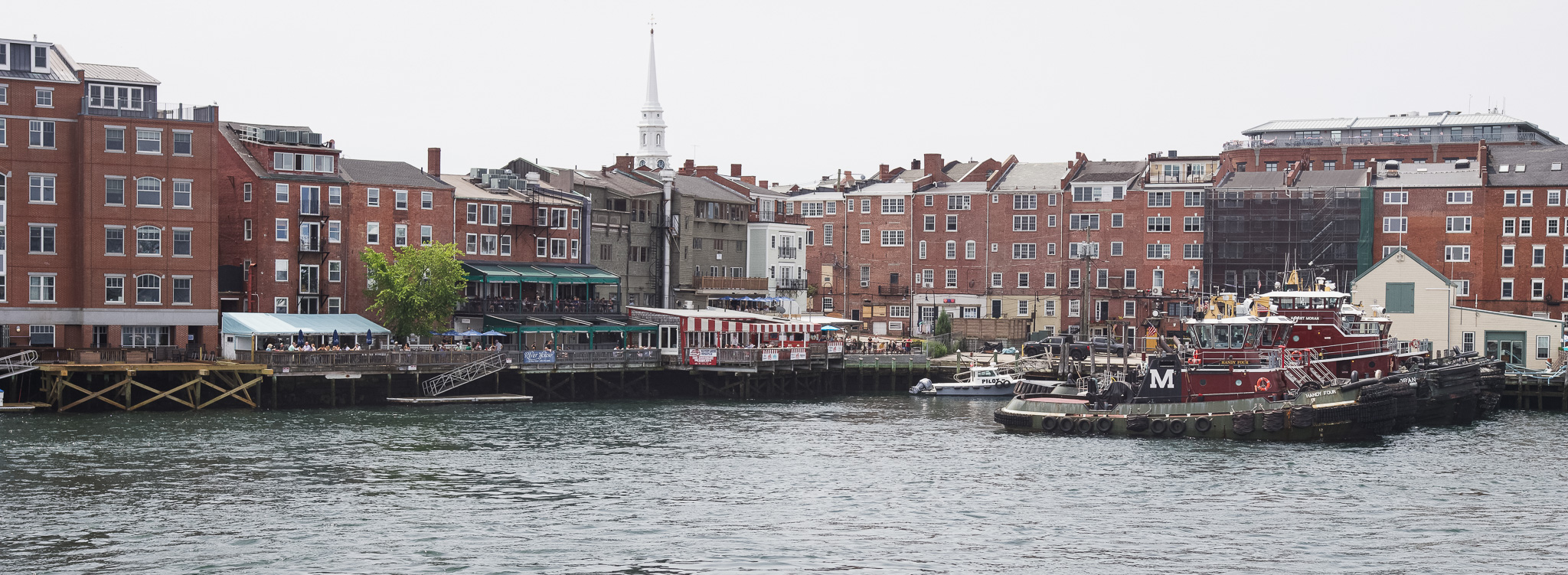
Recent coastal storms in New Hampshire, including major events in December 2022 and January 2024, have caused record flooding from a combination of high tides, storm surge, and rainfall, leading to significant damage in communities like Portsmouth. As sea levels rise and these storms become more frequent, local cities and towns are increasingly vulnerable to both surface flooding and groundwater inundation. This growing risk has created a need for better data and tools to understand when and where flooding occurs, so communities can more efficiently prepare for and respond to these events.
To address this need, Michael Routhier from the Earth Systems Research Center at University of New Hampshire, and his research team will partner with the City of Portsmouth to build a network of wireless water level sensors. These sensors will track the timing and location of flooding at a city-scale. The data will be shared with city officials in near real time to improve management decisions, while also supporting the development of predictive flood models and long-term planning strategies. The project will engage students and community members and explore opportunities to expand similar monitoring systems across other New Hampshire coastal communities.
Principle Investigator

Michael Routhier, Ph.D.
Earth Systems Research Center, Institute for the Study of Earth, Oceans, and Space, University of New Hampshire
Michael.Routhier@unh.edu
Co-Investigators
Fei Han, Ph.D.
Assistant Professor, Department of Civil and Environmental Engineering, University of New Hampshire
Fei.Han@unh.edu
Lisa Wise
Coastal Resilience Extension Specialist, NH Sea Grant and UNH Extension
Lisa.Wise@unh.edu
Wilfred Wollheim, Ph.D.
Professor, Department of Natural Resources and the Environment, University of New Hampshire
Wilfred.Wollheim@unh.edu
Project Funding Cycle
2026-2027 NH Sea Grant Biennial Research Funding
Project Abstract
On January 10, 2024, Seacoast New Hampshire experienced a combination of very high tides and over 3 feet of storm surge that inundated seaside communities with record levels of surface and groundwater flooding, causing hundreds of thousands of dollars worth of damage to homes, buildings, and other infrastructure (Lenahan, 2024). This storm, similar to a December 23, 2022 storm that inundated the seacoast with 2.9 feet of storm surge and prompted New Hampshire‘s Governor Sununu to request a presidential disaster declaration for the state, is emblematic of the ongoing and growing threat that these types of storms are expected to continue to have on our communities in the future (Wake et al., 2011; PREP, 2016; Jacobs et al., 2018; Wake et al., 2019; Routhier et al., 2024). It is increases in the frequency of these types of storms in conjunction with predicted rises in sea levels that have prompted an ongoing effort by New Hampshire‘s coastal cities and towns to assess their vulnerability to these types of events. Accordingly, this proposal grew out of a discussion with staff at the City of Portsmouth, NH, who have sought expertise and technical assistance to develop an environmental sensor water level monitoring network to document the magnitude, timing, and causes of surface flooding and groundwater inundation at vulnerable locations around the City. To this end, the City staff wishes to use this information to mitigate the effects of these events by better-allocating resources when and where they are most needed. In response to this need, we propose to answer the following scientific question of interest within our work: How do spatial and temporal occurrences of surface and groundwater flooding at vulnerable locations around the City of Portsmouth, NH, vary based on differing magnitudes and timings of extreme high tide, storm surge, and rainfall events?
To answer this question and meet the City‘s needs, the objectives of our work are as follows: 1) leverage our experience to build a state-of-the-art wireless water level sensor network for the City of Portsmouth; 2) sample the network to assess the spatial and temporal dynamics of flooding and inundation at the city scale; 3) lay the foundation for a predictive flood model for the City based on the sample data collected from the sensor network and other environmental drivers; 4) stream surface and ground water data to City officials to help them make near real-time management decisions; 5) provide water level data to City officials to inform long term mitigation and adaptation strategies; 6) engage students and other community members in learning opportunities that increase public awareness and foster interest in strategies to proactively prepare for flooding; and 7) engage with municipal officials from other seacoast communities to understand their needs for similar water level sensor networks, and assess the potential for a future New Hampshire Seacoast regional network.

