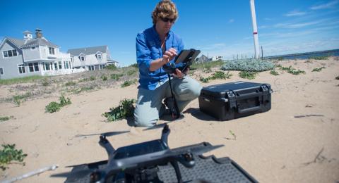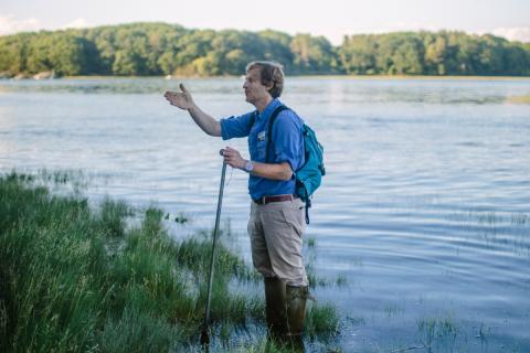
Understanding how sea-level rise will affect coastal communities in New Hampshire is key to forming a plan to combat future risks to property and livelihoods of Seacoast residents. New research from a team led by Gregg Moore at the University of New Hampshire will combine data from UAV remote sensing technology with a wireless network of salinity and water level sensors to create a field monitoring system that can identify current and future flooding risks. Moore will also use the data from this system to engage students and volunteers, inform communities, and increase coastal resilience by holding local meetings and developing new coastal management strategies.
Principle Investigator
Gregg Moore, Ph.D.

Associate Research Professor, Department of Biological Sciences, UNH
Contact Dr. Moore
gregg.moore@unh.edu
Project Funding Cycle
2020-2021 NH Sea Grant Biennial Research Funding
Co-Investigators
Michael Routhier, Ph.D.
Information Technologist Manager, Instructor, Institute for the Study of Earth, Oceans, and Space, UNH
Contact Dr. Routhier
mike.routhier@unh.edu
Alyson Eberhardt, Ph.D.
Coastal Ecosystems Specialist, NH Sea Grant and UNH Cooperative Extension
Contact Dr. Eberhardt
alyson.eberhardt@unh.edu
Project Abstract
The Seacoast of New Hampshire continues to be impacted by flooding caused by intense storm events and tidal flooding linked to climate change-driven by Sea-Level Rise (SLR). These events threaten homes, businesses, infrastructure, historic buildings, livelihoods and ecosystem services. These threats have prompted multiple efforts to develop adaptation plans to build resilience. Accurate documentation of the magnitude and timing of coastal flooding and storm surge that accounts for driving variables such as local geography, weather, rainfall, presence of road crossings, or other restrictions to flow are essential to inform resilience measures. This proposal stems from an ongoing project with the Town of Hampton, NH, with assistance from the Coastal Program at NH Department of Environmental Services, who have sought expertise and technical assistance to document the timing of tide propagation in the Meadow Pond tidal marsh to better understand "sunny day" tidal and high intensity storm event flooding in the surrounding neighborhoods.
In response to a need for science-based approaches, we will develop an integrated field monitoring system consisting of state-of-the-art UAV remote sensing technology and a wireless network of salinity and water level sensors to gain an understanding of tide propagation, coastal flooding and storm surge events relative to their underlying physical and temporal variables. Through this approach, we seek to 1) determine the spatial and temporal drivers of flooding at the scale of a tidal marsh; 2) employ new knowledge and protocols that will be utilized by the town of Hampton to mitigate and adapt to the current and future dynamics of the coupled human and natural system in which they live; 3) engage student and volunteer learning opportunities that inform the public, increase awareness, and foster climate-adaptive land management strategies that increase coastal resilience; and 4) engage with other seacoast communities at local community resilience meetings to understand and promote the need for similar coastal flood monitoring programs.